

Young drone cartographer puts record-breaking on the map
Soaring into the pages of Guinness World Records 2021, Nathan Lu (USA) is featured as the youngest drone cartographer – a passion that started when Nathan heard about an online geotagging competition.
For those who may not be familiar, geotagging is the process of adding geographical identification metadata to various media such as a geotagged photograph or video.
In this case, Nathan uses his drone to capture aerial images and create maps of a given area.
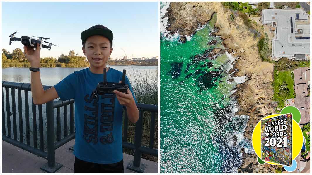
From the age of 11 years old, Nathan has mapped his neighbourhood and the surrounding environs in Long Beach, California, USA, using drones, and is by far the youngest drone pilot and photographer whose images have been utilized by a digital mapping service - in this case, Soar.Earth (USA), which he first posted to on 15 April 2019 aged 14 years 202 days.
Nathan's first upload to Soar.Earth was of a circular soccer field in Rossmoor, California, taken from a height of 113.8 m (373 ft 4 in) using his DJI Mavic Air FC2103 drone.
During his first try at geotagging, Nathan took home the gold and a new goal- setting his sights on reaching new heights.
Nathan then saved funds towards buying new equipment. It didn't take him long before he was able to snag an inexpensive, starter drone.
The budding cartographer is quick to remind anyone curious about drones that "you don’t have to have the best equipment, or the fanciest drone."

After his purchase, he started to explore and discover the world through a new perspective.
Though he encourages anyone who is interested to give it a try, he also stresses the importance of safety checks.
Before anything can get off the ground, Nathan specified that he always checks the air using DJI airsense and makes sure that there aren’t any low-flying planes in the area.
The last thing he would want to do is injure someone while flying his drone.
The process revolves around making sure there are also no geozones, otherwise known as virtual boundaries, and if there are, that authorization is received before sending a drone into the area.
Sheltering in place has given Nathan time to dream even bigger and imagine the all the possibilities his drones can make into realities.
He has even begun setting his sights on the possibility of starting a drone focused, technology-based company of his own.
This is just the start for the young cartographer as he has already proven that the sky really isn't the limit.